itineride is an itinerary planner built for riders. Tap the map to drop a stop, watch the route draw itself, and carry the distance, the riding time and the notes of every day with you — on the phone in your pocket and on the tablet on the table.
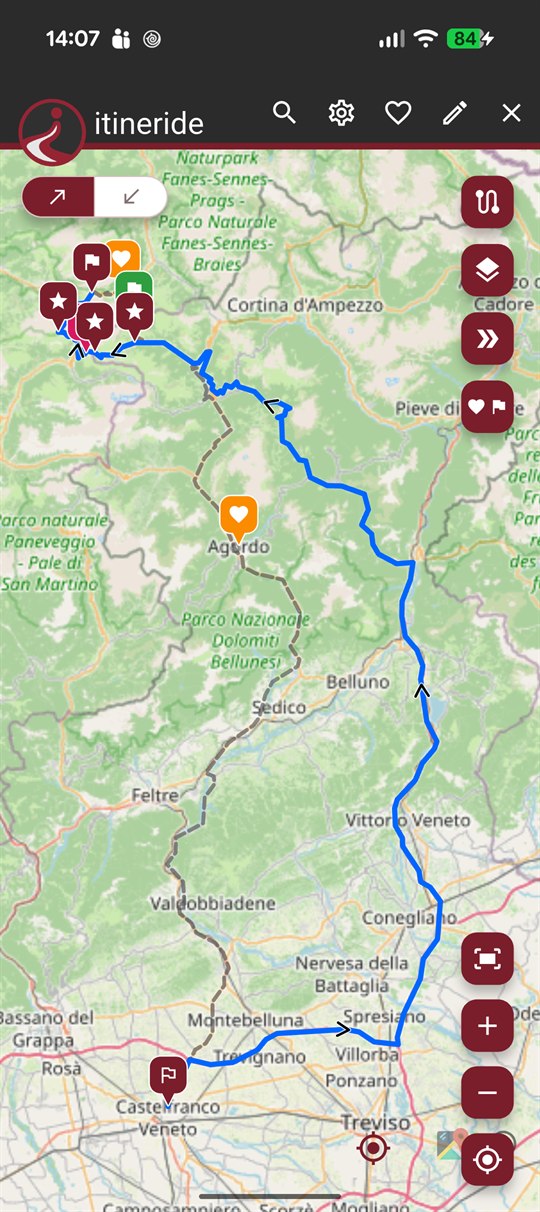
Nothing to set up before you start: open the map, and the first tap is already a stop.
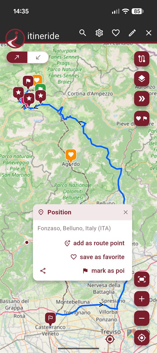
Tap the map, search for a place or paste a pair of coordinates: every point becomes a stop. Choose one way or round trip — the two legs stay separate, each with its own stops — and pin passes, refuges and viewpoints as points of interest, without bending the route to reach them.
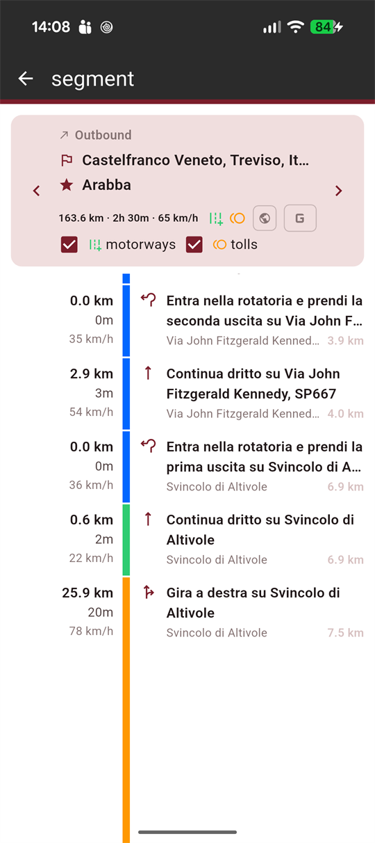
Each leg is calculated separately and comes back with distance, duration, average speed and turn-by-turn directions. Motorways and tolls are a switch you flip per leg — that is how the good roads get picked, and the dull transfer stays a transfer.
The summary collects the totals of the trip and splits them day by day, rest days included. Share the itinerary with the people riding with you, export it as GPX, or hand it over to Google Maps the morning you leave.
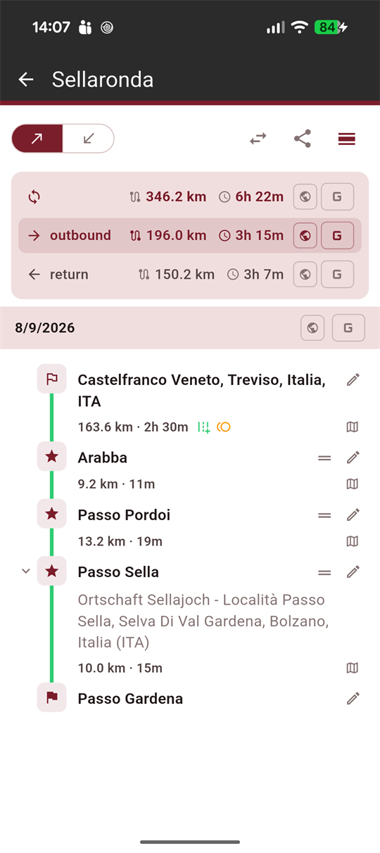
No feed, no friends to add, no cloud to sync. A planner that opens fast and keeps what you wrote.
A tap on the map, a search by name, or a pair of coordinates pasted from a forum post. All three end up as the same thing: a stop on your route.
Pick round trip and the return becomes its own leg, with its own stops and its own roads. Coming home never has to retrace the way out.
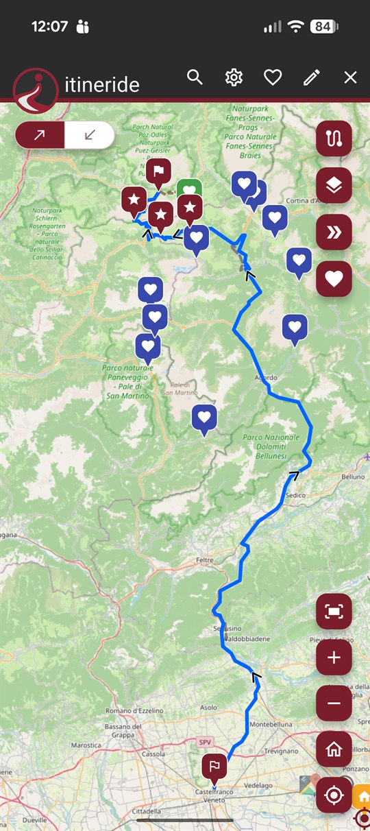
A pass, a refuge, a viewpoint you want to remember: pin it along the way. It shows on the map without changing a metre of the route.
The places you keep coming back to stay one tap away, ready to drop into the next trip you start.
Two switches on every single leg. Fly down the motorway to reach the mountains, then keep the passes clear of them.
The totals split across the days you will actually ride, so a week away stops being one long number.
Export a single track or the whole trip — notes, links, stop types and rest days included — and open a GPX somebody shared with you.
A local archive: no account, no sign-up, no server of ours in the middle. Nothing to delete later, because nothing was ever sent.
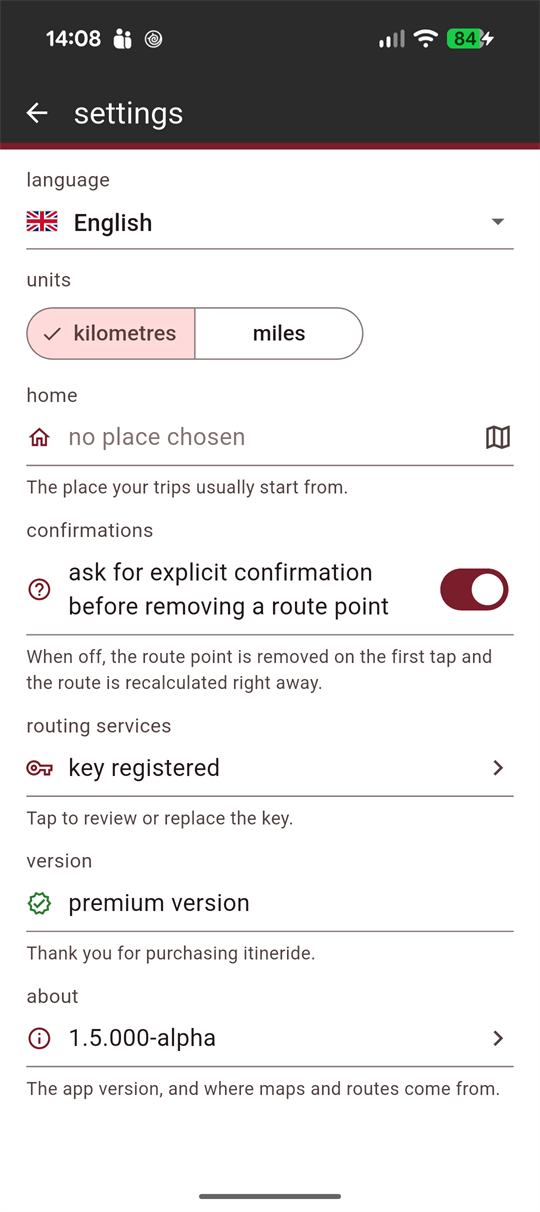
Kilometres or miles, and the whole app — turn instructions and place names included — in English, Italian, French, Spanish or German.
The layout follows the screen instead of being stretched to fit it. On the phone the map takes the whole display and the trip opens over it. On a tablet the list and the legs sit side by side: you touch a stop on the left and watch the totals change on the right.
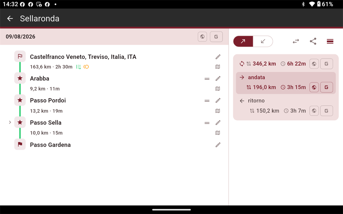
Tablet — the stops and their legs, side by side (here in Italian, one of the five)
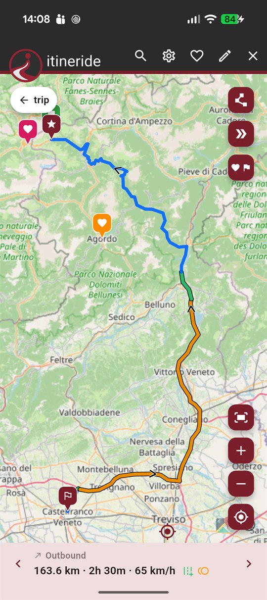
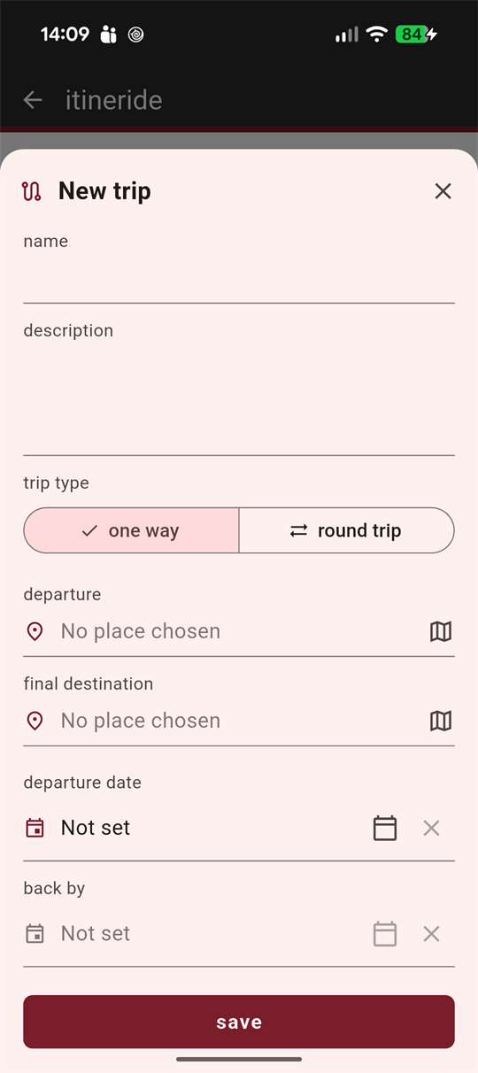
Phone — one leg at a time
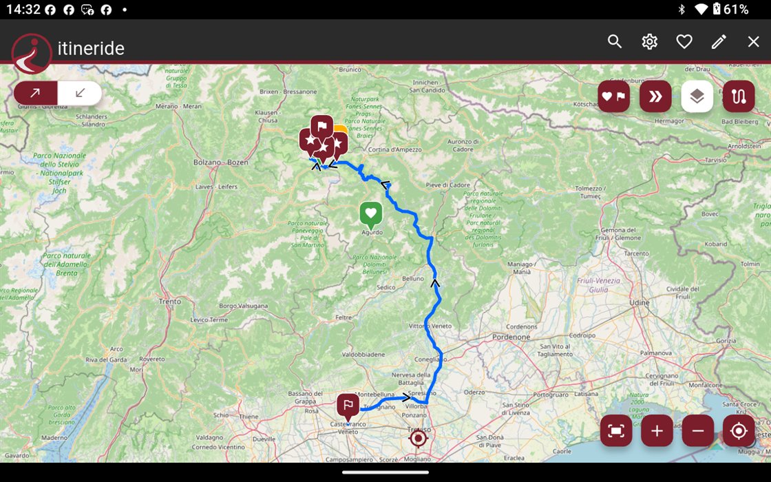
More map, the same controls within reach
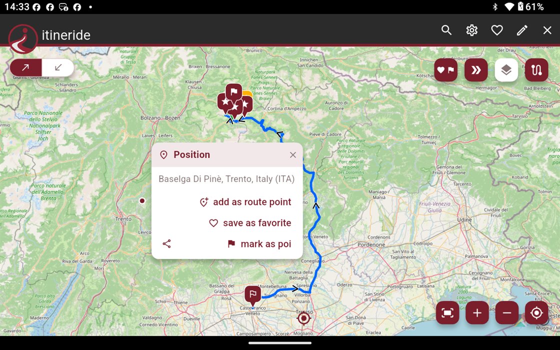
Any point on the map is one tap from being a stop
Real screenshots, nothing staged. Drag sideways.
The free app does not expire and never asks for a card. Premium is bought once, and that is the end of it.
No time limit, no account, no card.
Bought once. No subscription, no renewal.
itineride plans, it does not navigate: on the road the itinerary is handed over to Google Maps. Routes are calculated with OpenRouteService, and on first launch the app asks for your own personal key for that service — it is free and takes a few minutes to get from their site. It is also the reason no account is needed here: the calculations go through your key, not through our servers.

Open it, drop the first stop, and see where the road wants to go.
Get it onGoogle Play